A full-day event at the Inter-American Development Bank showcasing how spatial data and Esri technology support development across Latin America and the Caribbean.
🌎 Overview
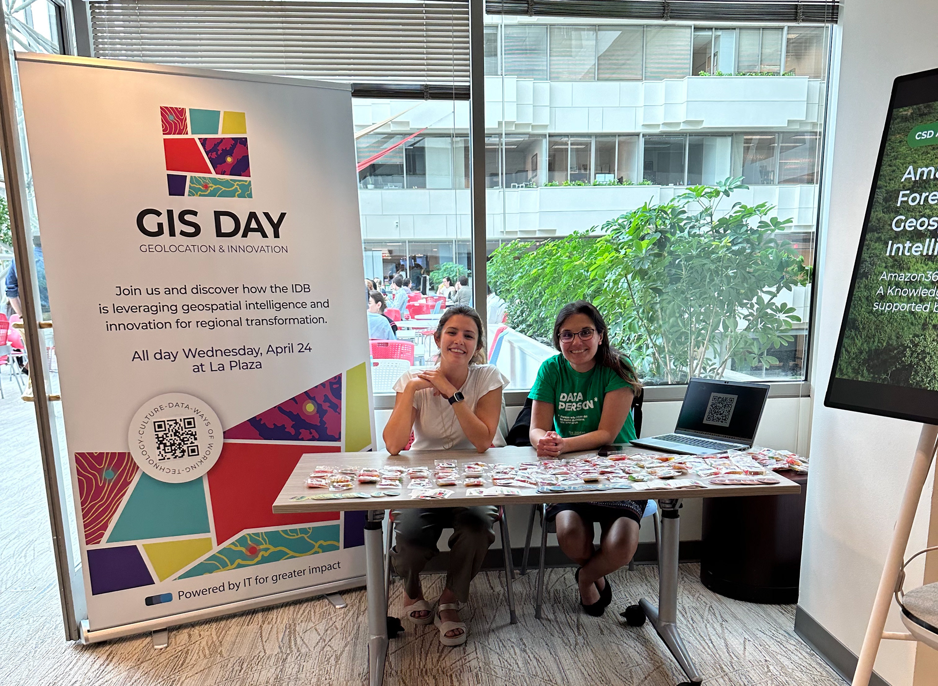
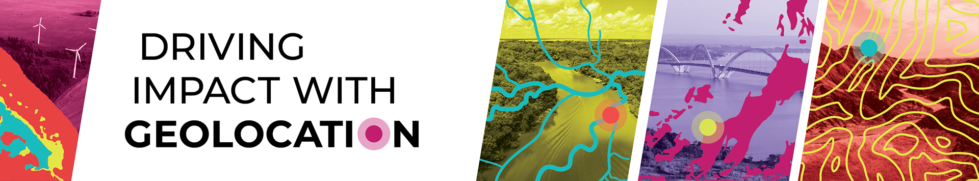
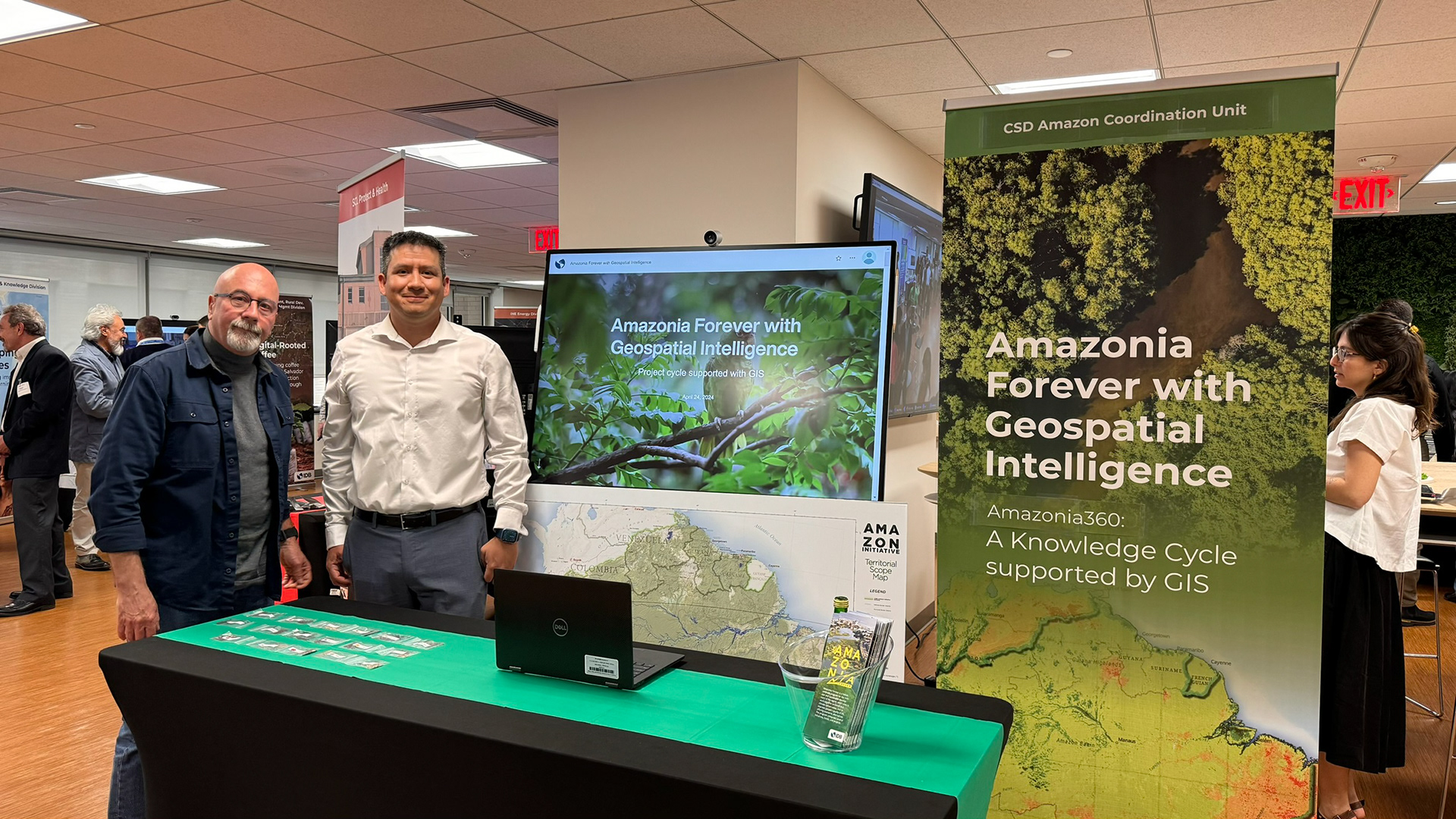
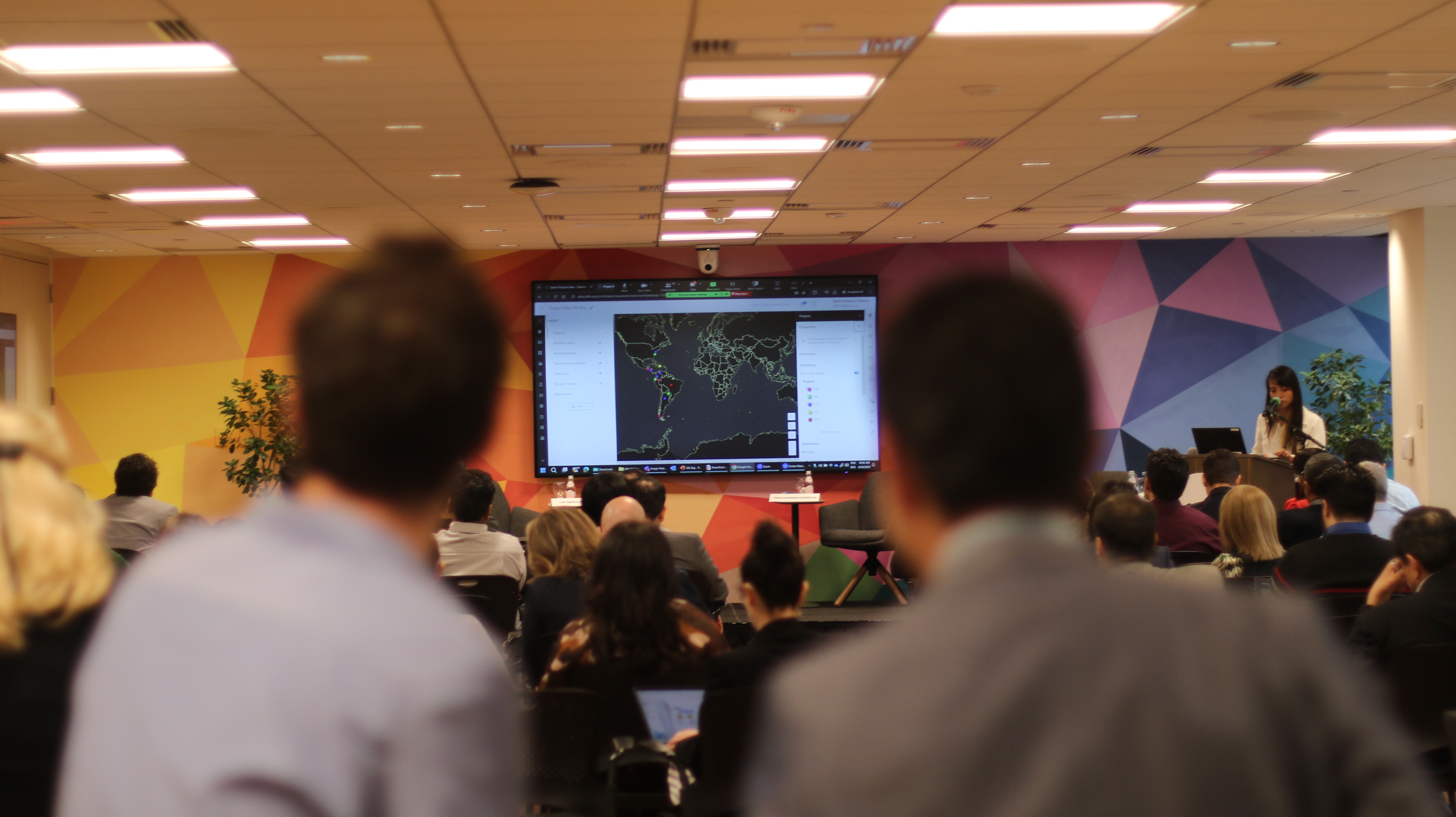
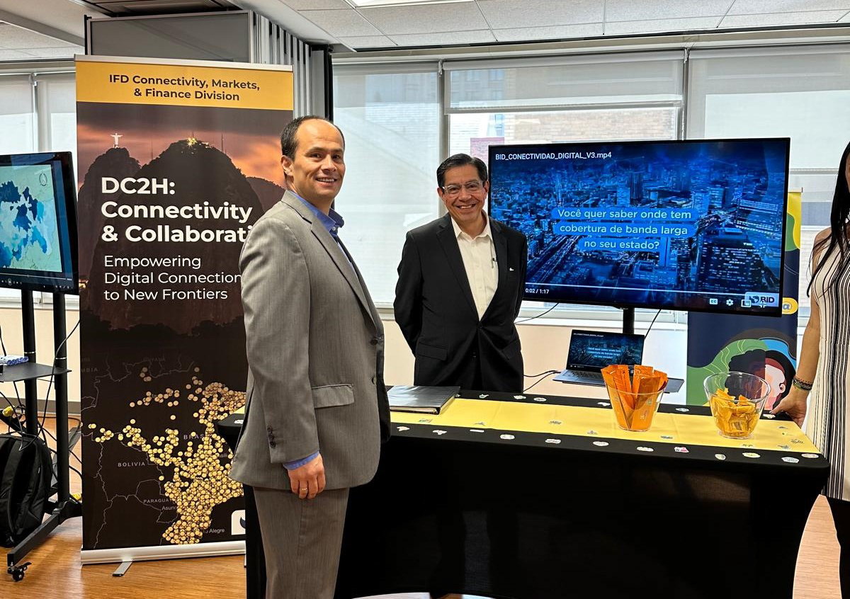
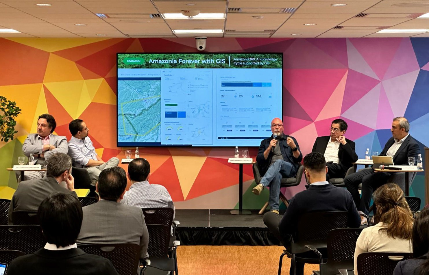
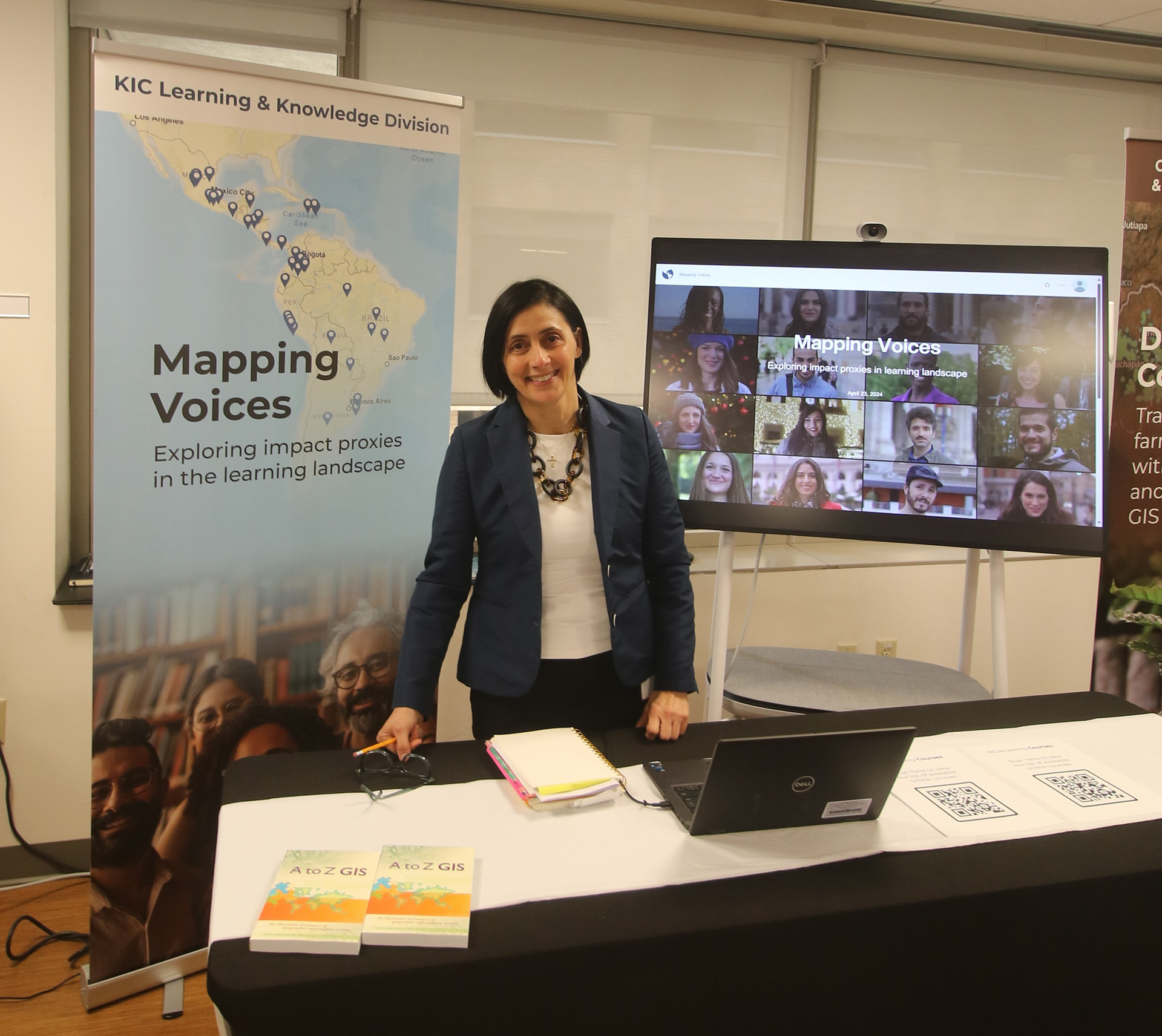
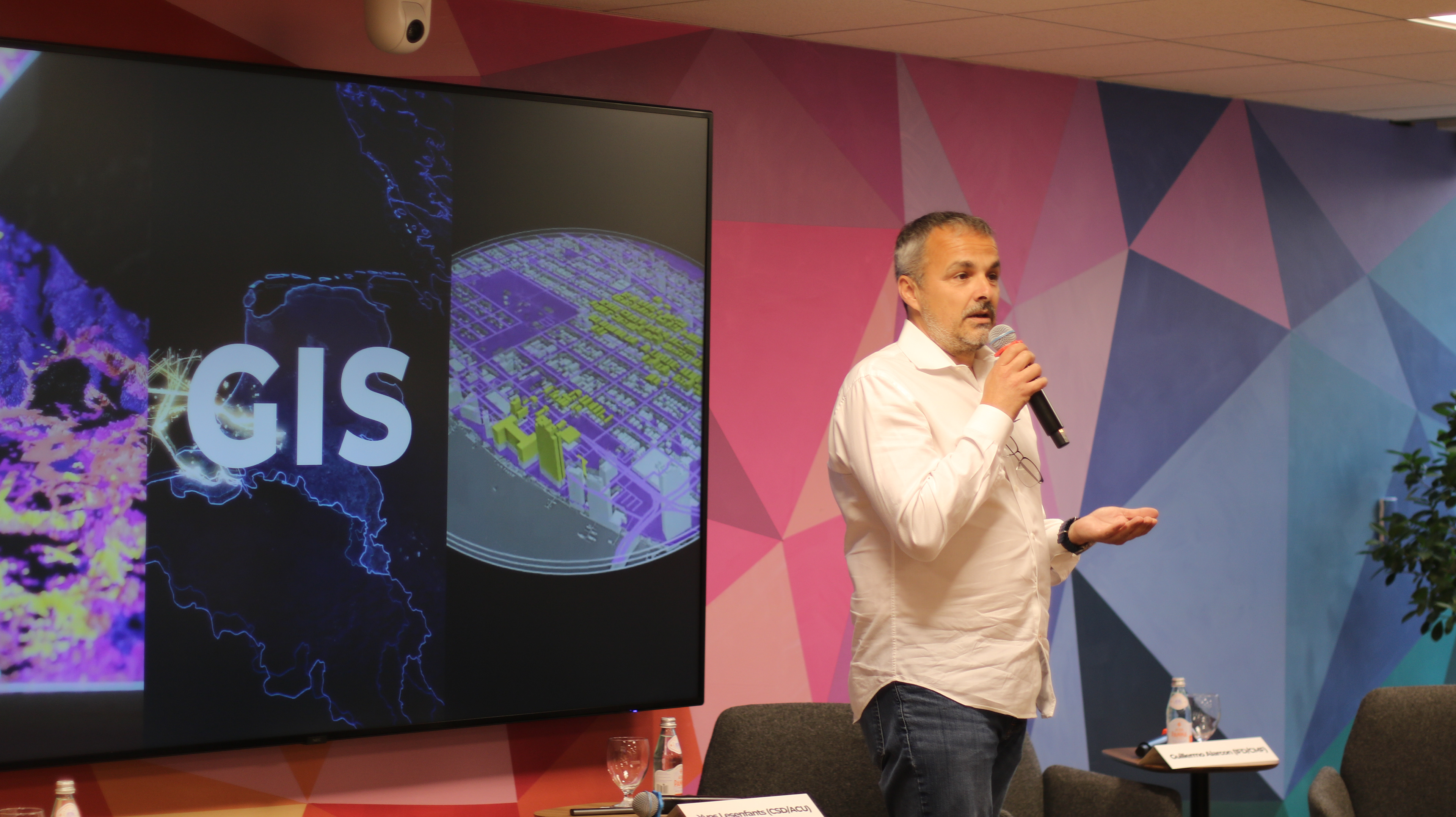
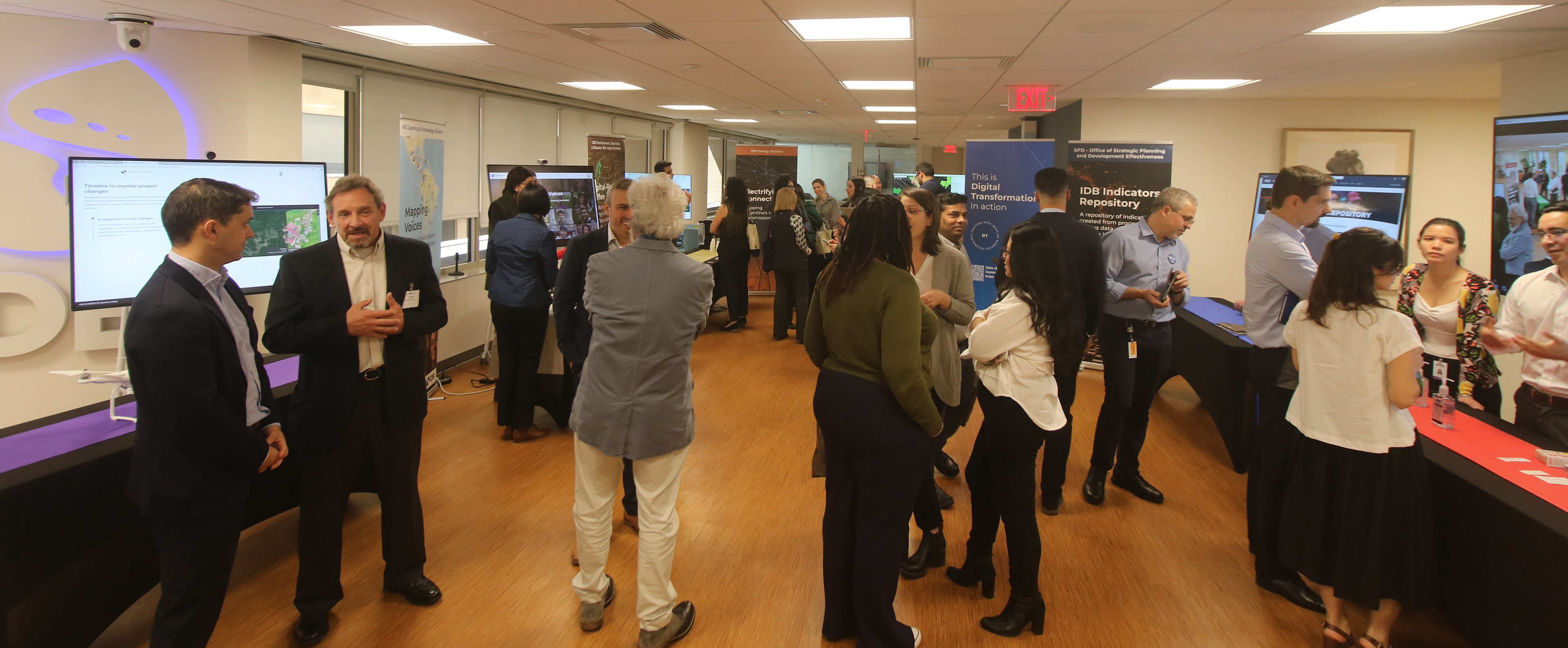
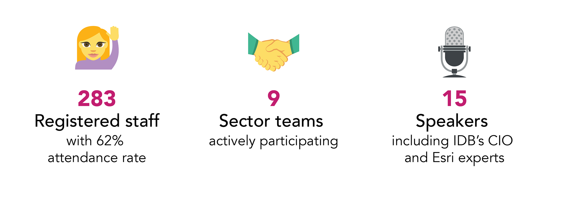
GIS Day was a Bank-wide event introducing Geographic Information Systems (GIS) technology and spotlighting how IDB sectors—from health to energy to Amazon conservation—use geospatial intelligence to inform decision-making and support project development in the Latin American and Caribbean region. The event combined presentations, hands-on demonstrations, and a fair-style expo where teams showcased real initiatives using Esri tools.
💪 My Role
Event Strategy & Planning: assisted on concept and format definition, coordination of participating sector teams, and selection of venue and other logistics
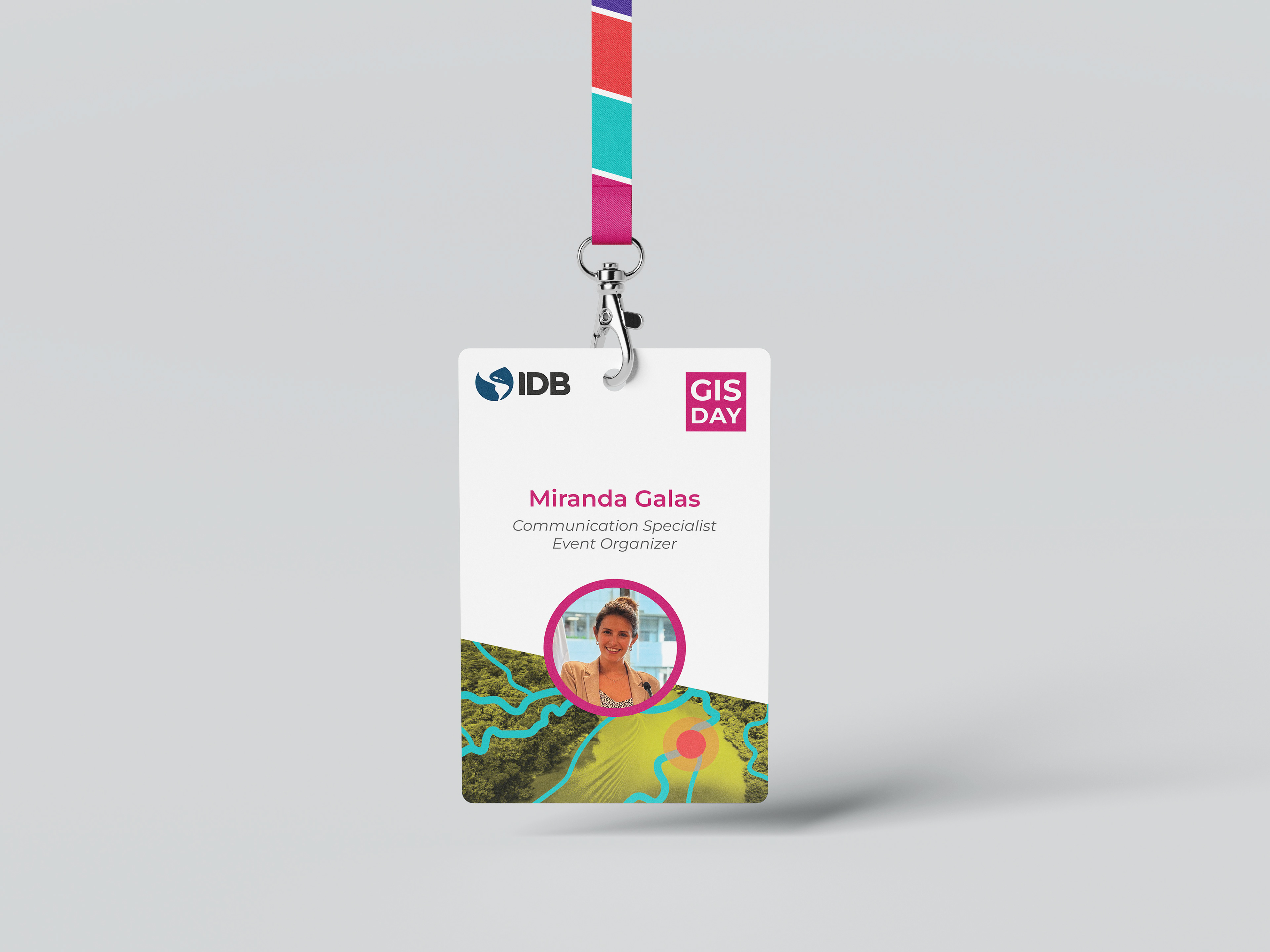
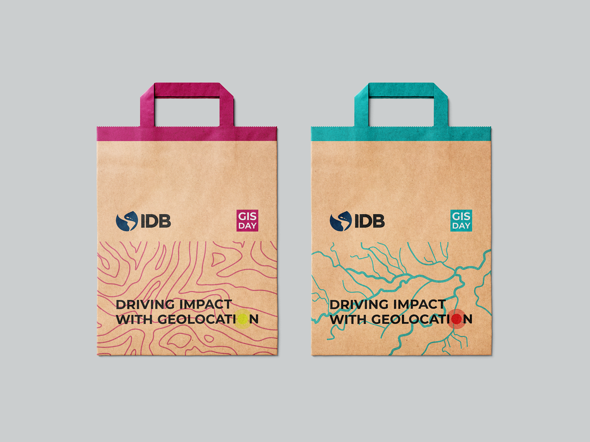
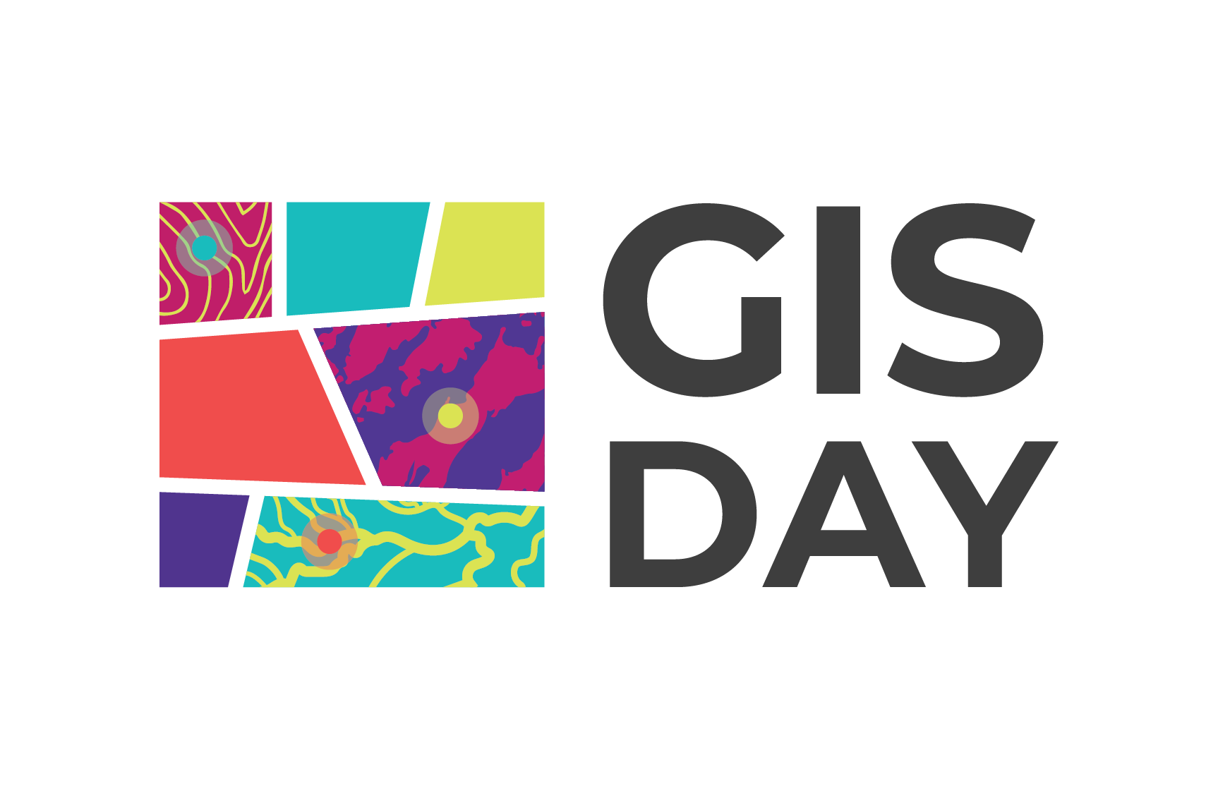
Branding & Visual Identity: logo design, color system, signage, digital banners, invites
Event Promotion: email campaigns, office advertising, registration assets
Content Development: StoryMap development in ArcGIS and presentation support for 9 sector teams
Expo Experience: booth layout, banners, collateral, giveaways
Event Planning & Operations: agenda management, timekeeping, photography, video documentation
Post-Event Communications: recaps, content distribution, follow-up materials

📊 THE EVENT IN NUMBERS
GIS Day brought together everything I enjoy about design and communication—conceptual thinking, systems design, storytelling, and live experiences—while also pushing my skills in planning, coordination, and leadership. It reinforced how thoughtful design and structure can transform complex, technical content into a shared experience that connects people across disciplines.